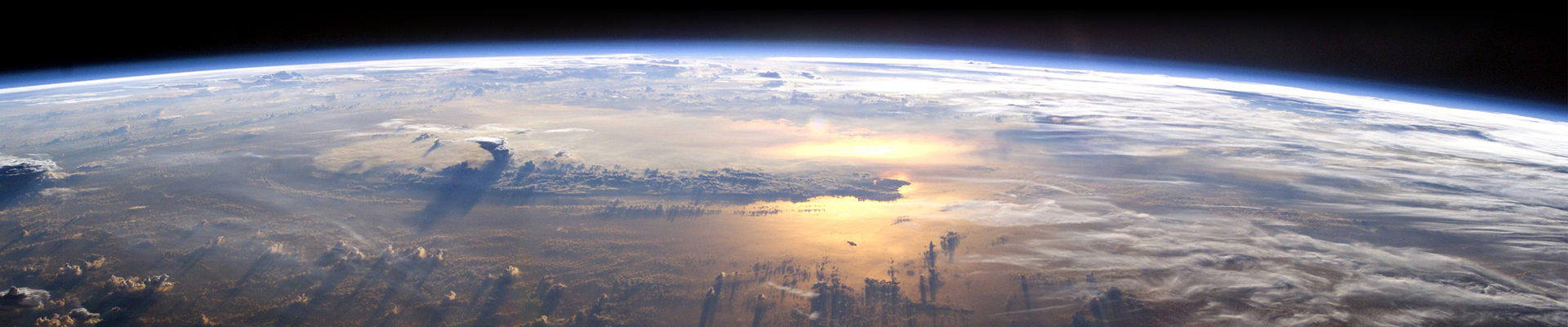
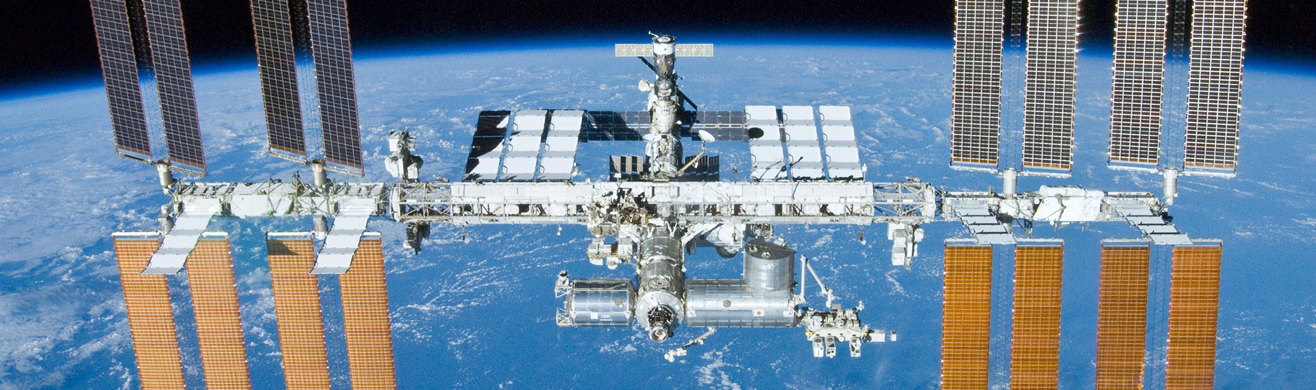
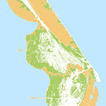
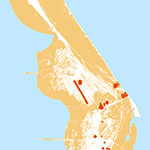
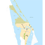
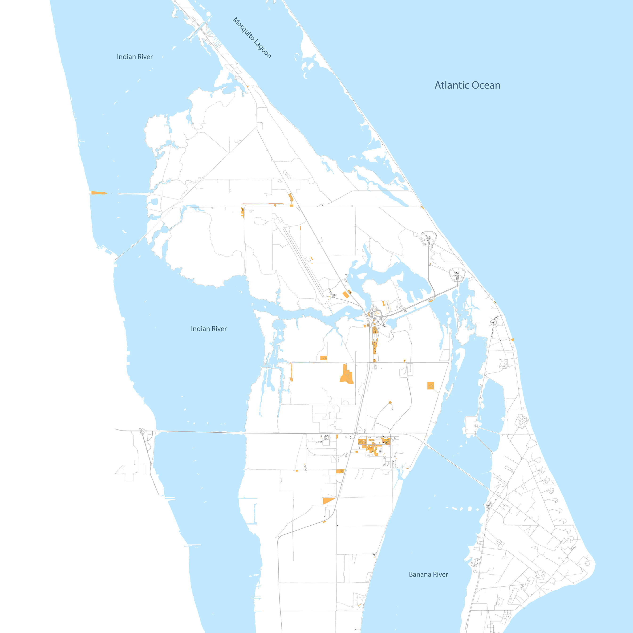
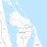
KSC has over 50 years of experience transporting people and cargo outside Earth’s atmosphere. KSC’s transportation infrastructure is one of the most unique systems in the world, incorporating five modes of transportation:
- Roads - Highway and roadway system providing connectivity to the external highway network.
- Rail - Connectivity to State and National railway systems.
- Air - Airfield and related flightline facilities to accommodate a range of aircraft.
- Sea - Location and relationship to waterways that connect to global waterways.
- Space - Vertical and horizontal launch and landing capacity to accommodate a range of existing and future space vehicles.
KSC's space transportation experience, combined with a transportation network that was designed to support multiple NASA programmatic operations, sets KSC apart from any other spaceport in the world and makes it truly quinti-modal.
Utilizing the infrastructure that support KSC's quinti-modal network, all KSC users have a comprehensive set of options to support any operation that will contribute to KSC’s continued role in furthering our understanding of the universe.
This quinti-modal transportation system is an integral component of Florida's Strategic Intermodal System (SIS), which integrates individual facilities, services, forms of transportation (modes) and linkages into a single, integrated transportation network.
The Florida Department of Transportation (FDOT) maintains a list of the state’s largest and most important transportation facilities that serve vital or inter-regional functions for the movement of people and goods.
As described by FDOT, the SIS:
- Is made up of facilities and services of statewide and interregional significance (strategic).
- Contains all forms of transportation for moving both people and goods, including linkages that provide for smooth and efficient transfers between modes and major facilities (intermodal).
- Integrates individual facilities, services, forms of transportation (modes) and linkages into a single, integrated transportation network (system).
Within the SIS, facilities are designated a Corridor, Hub, Connector, Military Access, or Intermodal Logistics Center. These transportation facilities include the highest priority (and best funded) highways, airports, seaports, freight terminals, rail lines and public transit terminals.
The SIS has its own 25-year horizon Capital Improvements Plan (CIP) maintained by FDOT. The CIP is composed of a First Five Year Plan (years 1-5), a Second Five Year Plan (years 6-10) and a Cost Feasible Plan (years 11-25). The CIP serves as the driving force for major infrastructure funding in Florida as all projects that are planned for SIS facilities must have dedicated funding sources and anticipated schedule.
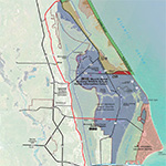
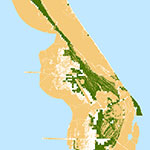
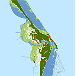
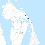
KSC, along with the Cape Canaveral Air Force Station (CCAFS), is designated as a SIS Spaceport Hub. This designation provides a path for FDOT to dedicate resources to transportation infrastructure that supports the viability of the Spaceport Hub in the future.
In addition to its own designation in the SIS Plan, several facilities adjacent to KSC are also SIS facilities.
Corridors:
- Interstate 95
- SR 528
- Florida East Coast Railroad
- Intracoastal Waterway
- Shipping Lane from Port Canaveral
Hubs:
Connectors:
- SR 405 (up to the boundary of KSC) linking the Spaceport to I-95
- SR 401 linking SR 528 with Port Canaveral and the southern security gate of CCAFS
- Jay Jay Railroad Bridge connecting the Florida East Coast Railroad to the KSC spur line
- Canaveral Barge Canal connecting the Atlantic Ocean and Intracoastal Waterway via Port Canaveral
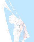
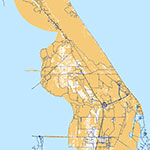
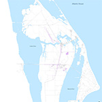
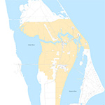
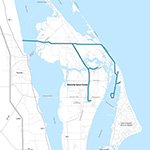
The road and bridge network serves all facilities and operations on Kennedy Space Center and Cape Canaveral Air Force Station. KSC has 1.5 million square yards of parking areas, 2.8 million square yards of roads, six major automotive bridges, and one railroad bridge that serve KSC and CCAFS.
The KSC road network consists of approximately 564 miles of roads, including 184 miles of paved roads, 380 miles of unpaved roads, and many other trails and access roads. Most paved roads on the Center are bituminous surface material constructed on a lime rock base and compacted soil sub-grade. Typical design standards for primary roads and highways on the Center include 12-foot wide lanes with sand stabilized turf shoulders. KSC’s main arterials, Kennedy Parkway and NASA Parkway, are separated by 30-40 foot and 10-20 foot medians respectively. Secondary roads to specific facilities are designed to accommodate the anticipated type of traffic.
Arterials are defined as roadways designed for high volume traffic connecting areas generating the greatest traffic volume. Arterials generally have a higher speed limit and accommodate faster traffic movement through KSC.
Center roads classified as arterials include:
- Kennedy Parkway North and Kennedy Parkway South are main north-south roadways connecting the north terminus to the south terminus. NASA Parkway is the dividing line between the north and south portions of the road. All of Kennedy Parkway South is four lanes wide, while Kennedy Parkway North fluctuates between five lanes and two lanes. Kennedy Parkway North is five lanes with a median between NASA Parkway and VAB Road. This road includes three southbound lanes, four lanes with a median between VAB Road and Beach Road, and an undivided two-lane road between Beach Road and the north border of KSC and its terminus at U.S. Route 1.
- The four-lane NASA Parkway connects U.S. Route 1 to KSC and is the primary gateway to the Industrial Area. West of Kennedy Parkway, NASA Parkway is a divided four-lane road and includes intersections with Space Commerce Way, which connects to Kennedy Parkway South, and the Visitor Complex. It also provides access to the Center through Gate 3. NASA Parkway east of Kennedy Parkway is four lanes until just past the Industrial Area, where it narrows to two lanes and crosses the Banana River to CCAFS. This road provides direct access from the Florida mainland to KSC and CCAFS.
- Beach Road is an east-west corridor in the north area of KSC that provides direct access from Titusville to Playalinda Beach and the Canaveral National Seashore. It provides access to Kennedy Parkway North, which bisects the road and is also an alternative access point for KSC employees to the Center. This two-lane road runs 6.8 miles from the KSC property line at the terminus of the Max Brewer Causeway on the east to the national seashore gate on the west.
- Titusville Road provides direct access from Titusville to the northernmost area of Kennedy Space Center. It is a two-lane road that runs 4.2 miles southwest to northeast connecting west Beach Road to the northernmost section of Kennedy Parkway North.
Collectors provide a transition for vehicular movements between arterials and local roads. Accessibility to adjoining areas and other roadways is not as strictly controlled as it is on arterial roads. Posted speed limits range from 35 to 45 miles per hour. Local roads provide direct access to buildings and parking zones. Posted speed limits range from 25 to 30 miles per hour. Roads classified as collectors include:
- Saturn Causeway
- Space Commerce Way
- Schwartz Road
- 5th Street SE
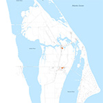
The currently designated secured and restricted areas of KSC were designed to support a single-user Center model. Access is controlled with permanent badges for employees and contractors and temporary badges for visitors. All access to the Center is via automobile and badges are checked at gates, which are staffed on varying schedules:
- Gate 1 – Located at entrance to CCAFS, indirectly controls access to KSC through CCAFS.
- Gate 2 - Located on Kennedy Parkway South, Gate 2 is a primary gate located south of NASA Parkway.
- Gate 3 - Located west of Kennedy Parkway, Gate 3 is a primary gate on NASA Parkway West.
- Gate 4 – Located on Kennedy Parkway North near the SLF, Gate 4 has restricted hours for access from the North.
Local roads form the balance of the Center’s transportation network channeling traffic onto collector and arterial roadways from concentrations of activities in various functional areas. The majority of local roads are located in the Industrial Area and VAB Area.
- Industrial Area roadways are constructed in a grid system with avenues oriented north and south and streets oriented east and west. This grid system is accessed from NASA Parkway East via C, D and E Avenues and from Kennedy Parkway South via 5th Street. The Industrial Area grid system provides access to numerous vacant lots available for development and access to numerous key facilities that already exist, such as the Hypergolic Maintenance Facility (HMF), the KSC Headquarters (HQ) Building and the Space Station Processing Facility (SSPF). Two-lane roadways were constructed in the Industrial Area to support the SSPF. First and Second Streets were extended eastward to connect with new local access roads built to funnel traffic into parking areas for the SSPF. A newly constructed road connects East NASA Parkway with these extended roads.
- Vehicle Assembly Building (VAB) area roadways include: Utility Road, Launcher Road, Fluid Service Road, Ordnance Road, and Instrumentation Road.
- Saturn Causeway provides direct access to LC39A and LC39B is accessed via Pad B Road. The tow way and Astronaut Road provide access to the Shuttle Landing Facility.
Given KSC’s location on Merritt Island, bridges support all vehicular access to the Center. Bennett Causeway (SR 528) and Max Brewer Memorial Parkway (SR 406/402) were built and are maintained by FDOT.
Seven main bridges support operations at KSC (six automotive bridges and one railroad bridge):
- Haulover Canal Bridge
- Indian River Bridge - Eastbound
- Indian River Bridge - Westbound
- NASA/Kennedy Interchange Bridge – Eastbound
- NASA/Kennedy Interchange Bridge – Westbound
- Banana River Bridge
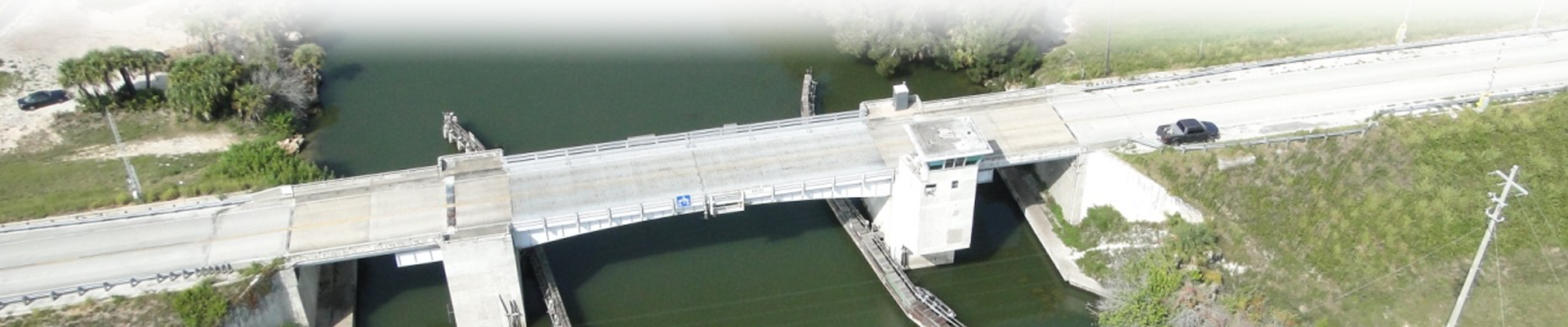
- Jay Jay Railroad Bridge
The Indian River Bridges connecting NASA Parkway with south Titusville have the largest volume of daily traffic. These bridges also support hurricane evacuation procedures for north Merritt Island via SR3/Space Commerce Way.
The Haulover Canal Bridge is the northernmost access point to KSC and has the smallest volume of traffic for all bridges. If the bridge is removed or is impassable because of extended maintenance, the detour using the U.S. Route 1/SR402 route to the northernmost security entrance to KSC at Gate 4 adds over eight miles to the route or approximately 10 minutes of commute time.
All KSC bridges are Department of Transportation (DOT) rated for standard loads.
Parking lots on KSC are primarily located in four areas:
- LC39A and LC39B
- Vehicle Assembly Building Area
- Indian River Bridge/NASA Causeway Westbound
- KSC Industrial Area
- Kennedy Space Center Visitor Complex
There are more than 120 parking lots in these areas, including unpaved spaces and paved lots with concrete and bituminous surfacing.
In addition to employee parking, parking lots serve as heavy equipment storage areas that have special requirements due to the weight and properties of the materials and equipment stored on them.
Rail service to the Cocoa-Titusville area is provided by the Florida East Coast (FEC) Railway. The direct freight connection to KSC and CCAFS is operated and maintained by KSC.
- The Jay Jay rail yard is the connecting link between KSC and the FEC railway, west of Jay Jay Railroad Bridge and the Indian River.
- The Jay Jay Railroad Bridge was refurbished from 2005-2009, but is rapidly approaching the end of its service life.
- About 40 miles of track currently serve KSC and Air Force logistical and operational requirements. Sidings are provided in the KSC Industrial Area, VAB area, LC39A area, and LC39B area.
- Additionally, a rail spur at the SLF was originally designed to handle leaking or suspected hazardous loads. This extension now provides a rail connection for current and future operations at the SLF to enable commercial companies who wish to utilize rail.
The Center’s location adjacent to several waterways provides multiple opportunities to leverage water access.
- Located at the south boundary of CCAFS, Port Canaveral consists of an entrance channel and turning basins dredged to accommodate oceangoing freighters and passenger cruise liners. Harbor facilities for Air Force and Navy activities at CCAFS are located north and northeast of the turning basins.
- The Navy has constructed a 45-foot-deep turning basin and 1,200-foot pier on the north side of the entrance to Port Canaveral. The pier has a 105-ton crane available to other government users on a noninterference basis. This facility is primarily used for the Trident Submarine program and is homeport to the Navy ship USNS Waters, which supports submarine operations.
- Commercial harbor installations include a wharf on the south shore of the harbor equipped for unloading petroleum products into nearby tanks. Commercial and sport fishing boats dock in the harbor south of the turning basin. Cruise terminals are located in the west turning basin and there is a marina southwest of the cruise terminals.
- Port Canaveral provides water access to KSC facilities through a canal that links the port with the Intracoastal Waterway in the Indian River. The connection is the result of moving the west dike of the port 4,000 feet into the Banana River and building a 90-foot by 600-foot lock in the relocated west dike.
- A dredged channel from the lock to the Merritt Island Barge Canal creates a water connection between the ocean and the Intracoastal Waterway.
- A KSC barge mooring is located at the intersection of the barge channel and the barge canal near the Canaveral Lock. This area has a depth of 25-30 feet. It provides a holding area for barges that will be moved up a dredged channel to the CCAFS dock facilities and the turning basin in the VAB area.
- The Turn Basin and Dock, east of the VAB, provides a direct water connection between the Atlantic Ocean and space launch processing activities at KSC. Utilizing a dockage area 1,800 feet long and 1,700 feet wide, the Turn Basin was used by both the Apollo and Shuttle Programs to receive fuel tanks and other elements too large to travel over open roadways.
- The turn basin maintains a depth of 10-15 feet at the cargo transfer point and deepens to approximately 25 feet near the middle.
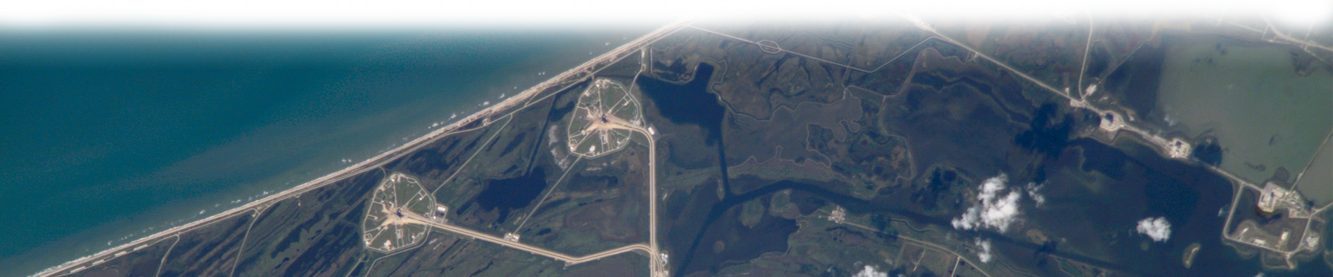
The Center has three runway facilities in the immediate vicinity. Several heliports also serve the Center accommodating rotary winged aircraft. In addition to the (SLF), two other runways serve users in the area, including the Skid Strip located at CCAFS, which is operated by the Air Force, and the Space Coast Regional Airport located just west of KSC in south Titusville.
The SLF was built for landing reusable launch vehicles (RLV), specifically the Shuttle Orbiter.
- The length and width of the SLF is unique, with a runway that is 15,000-foot long and 300 feet wide with 1,000 foot overruns on each end.
- The SLF was designed to accommodate Space Shuttle landings, either the shuttle alone or piggyback on a jet aircraft, but it also accommodates program support aircraft, aircraft related to commercial enterprises, other aircraft on official call at KSC, and vehicle performance testing.
- The SLF approach orientations are 150- and 330-degrees magnetic. Field elevation is 9.5 feet above sea level.
- Operation of the Shuttle Landing Facility (SLF) by a Non-NASA user is pending evaluation.
Several heliports also serve the Center accommodating rotary winged aircraft.
- SLF Heliport - Helicopters supporting NASA business use the KSC SLF Ferry Terminal as a heliport. The SLF heliport is located northwest of the VAB and near the south end of the SLF.
- Industrial Area Heliport - The KSC Industrial Area heliport is open only for official traffic to meet the occasional needs of KSC. It is used rarely, most often for special visitors and NASA management personnel on orientation flights. Other uses include medical evacuation, security surveys, and photography missions. The heliport is located on the west side of the parking area behind the KSC Headquarters Building and is a concrete pad with a wind sock adjacent to the pad.
- Launch Complex 39 Heliport - A heliport is located northwest of the VAB Area Press Site, approximately 1,000 feet southeast of the VAB. The heliport has a windsock and can accommodate up to seven helicopters. It is used for the same purposes as the Industrial Area heliport.
Currently the U.S. Air Force operates two air assets that can contribute to operations at KSC, including the Skid Strip and Skid Strip Heliport.
- The Skid Strip at CCAFS was originally designed for recovery of remote-controlled missiles. It is not open to commercial air traffic and is used only for official government business.
- The only aircraft permitted to use the Skid Strip are those that are those used for delivery of rocket stages, payloads and critical rocket components, aircraft carrying people engaged in official administrative business, and aircraft used in support of rocket launchings. All other air traffic is directed to land at Patrick Air Force Base.
- The Skid Strip is 200 feet wide and 10,000 feet long with 75-foot-wide shoulders and 450-foot by 1,000-foot overruns. The overruns are cleared sod areas rather than hard surfaces.
- The runway angles from northwest to southeast and is located southeast of the CCAFS Industrial Area. When landing to the southeast, runway 31 is used; when landing to the northwest, runway 13 is used.
- The Skid Strip paved parking area on the northwest end of the runway is used as a heliport when needed for official traffic, which includes a hard surface structure and a windsock. It is located due west of the Morrell Operations Center and due east of the Medical Building.
- The FAA has set up “45 SW Eastern Range Special Use Airspace” to manage and control airspace above KSC and CCAFS launch facilities.
- Airspace and safety criteria for the SLF is in accordance with Federal Aviation Regulation (FAR) Part 77 Airport Aeronautical Surfaces/ Airspace and safety criteria for the Skid Strip is in accordance UFC 3-260-01.